Geomatic Development offers a wide range of products of photogrammetric processes.
OUR PRODUCTS :
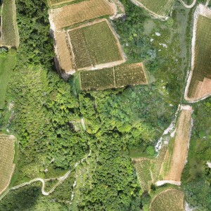
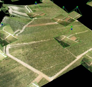
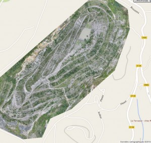
- orthophotos and high-resolution orthomosaic, up to 2 cm
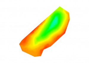
- DSM & DEM
- Thermal imagery
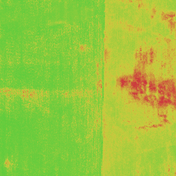
- NDVI, NIR (Near Infra Red)
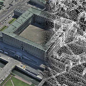
- Cloud points
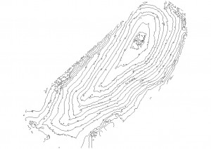
- Topography, contour lines
ADVANTAGES
- High precision products in compliance with GIS data standards
- Data integration and interoperability to all GIS, DAC database, DTP
- Accurate, quickly deployed
- Cost-effective
- International interventions
Cet article est également disponible en : French
